
(NEW information on PRISM data access at bottom of page!)
To achieve the science objectives, CORAL will conduct airborne remote sensing campaigns using PRISM (Portable Remote Imaging Spectrometer) in a Tempus Applied Solutions Gulfstream IV airplane. The PRISM sensor is a combination spectrometer (an instrument that measures the intensity of light as a function of wavelength) and radiometer (an instrument that measures the power, or flux, of electromagnetic radiation). PRISM was developed in 2009 as a state-of-the-art tool for conducting coastal ocean science; specifically, for studying large areas of the coastline repeatedly in a short period of time.
Learn more about the PRISM technology in this NASA Earth video as CORAL Project Scientist Dr. Michelle Gierach gives a tour of the plane and its specialized instrumentation.
For the purposes of CORAL, PRISM will measure the light values (spectra) that signal the health of coral: that is, the light that travels from the sun, through the atmosphere, through the sea surface, down through the water column, to the bottom and back to the sensor.
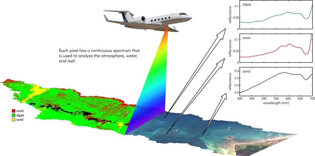
Illustration of spectral data collected by the PRISM instrument during CORAL airborne campaigns
However, in order to obtain these spectra, CORAL scientists will have to apply a series of “corrections” to account for these factors. The result will be a series of maps that indicate the relative densities of coral, sand and algae in each study area, as well as rates of primary productivity and calcification.
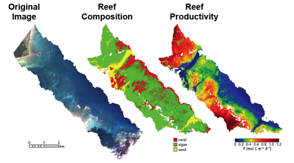
Examples of CORAL data products that integrate PRISM images with in-water validation and correction algorithms
Photo Gallery:
-

- The Tempus Gulfstream-IV airplane in the hangar during the ORT in Hawaii

-

- A view of the PRISM instrument looking down inside the cabin of the plane
-
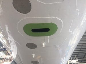
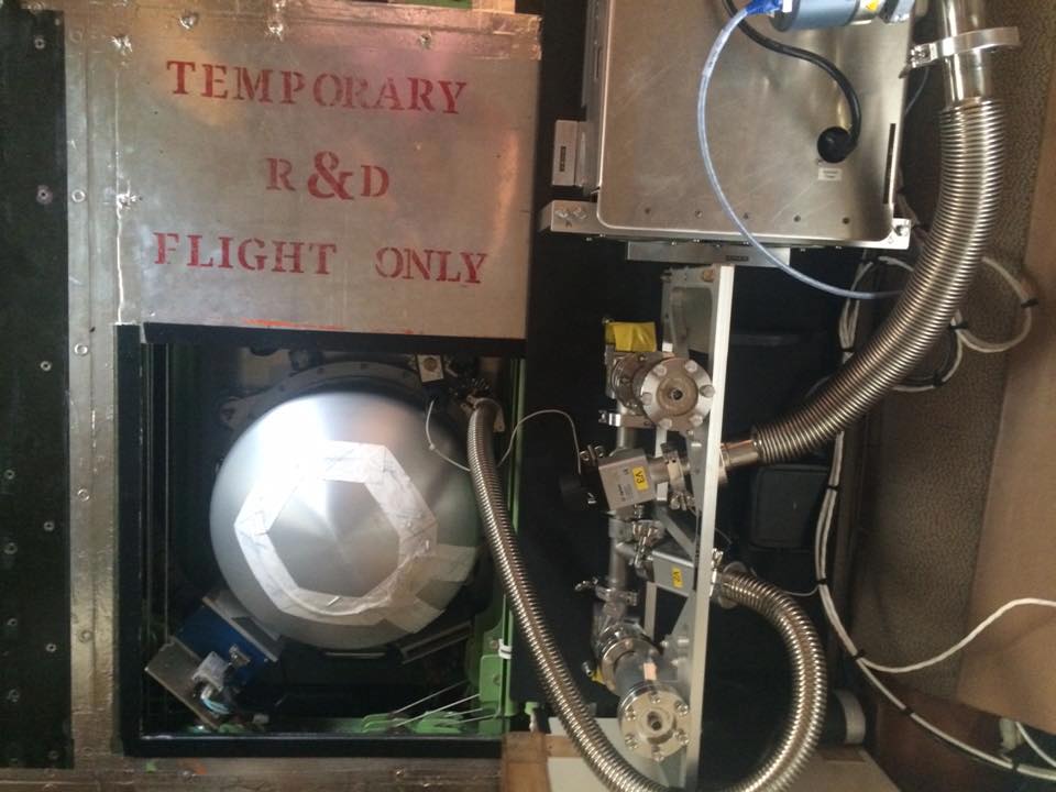
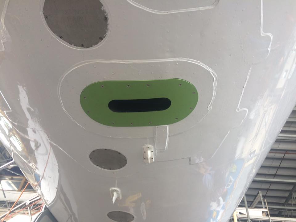
- The PRISM instrument as seen from the belly of the plane
-

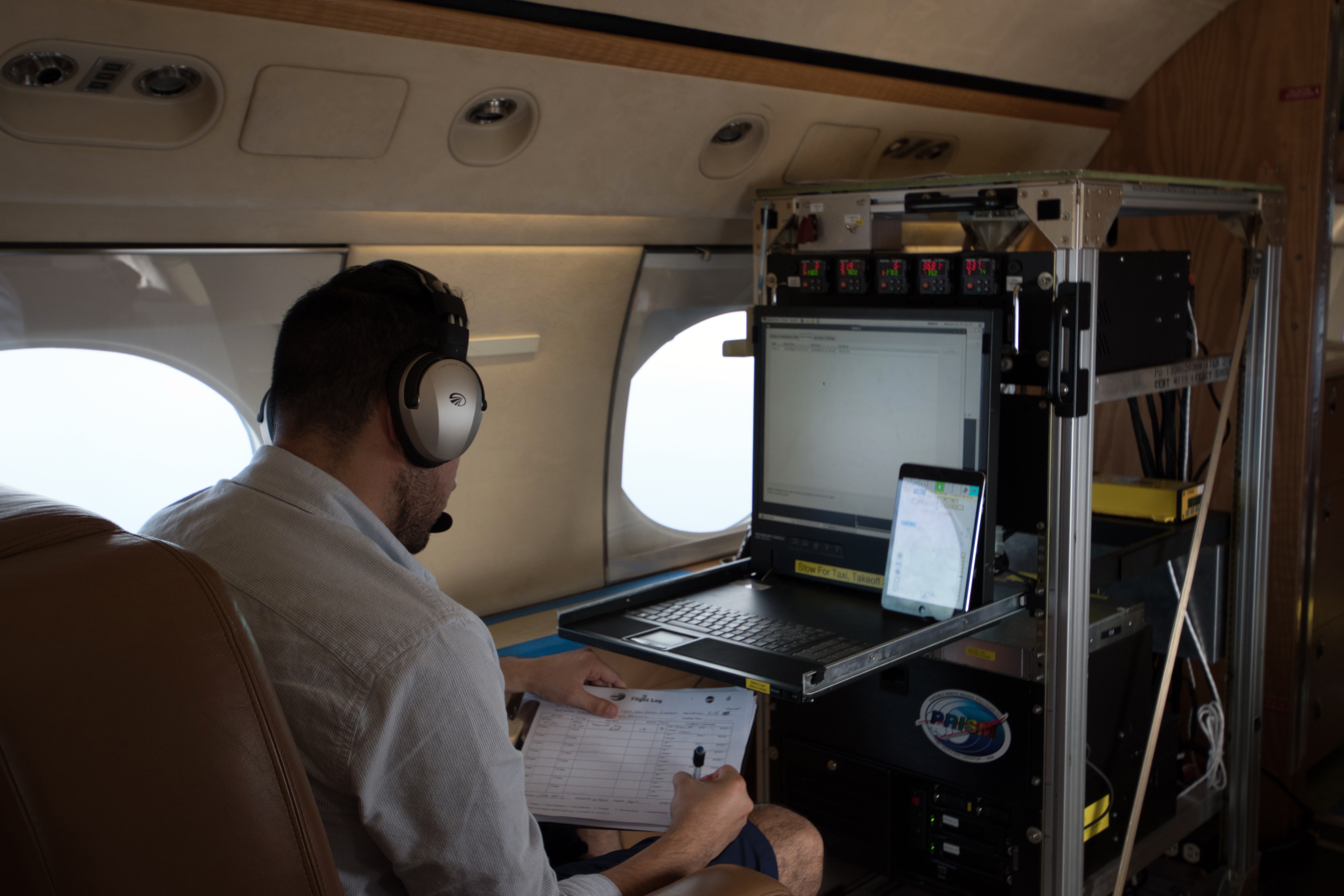
- Ernesto Diaz, CORAL Project Systems Engineer, operating the PRISM instrument during flight
-
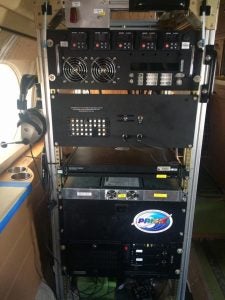
- The control panel for the PRISM instrument

-
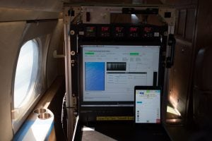
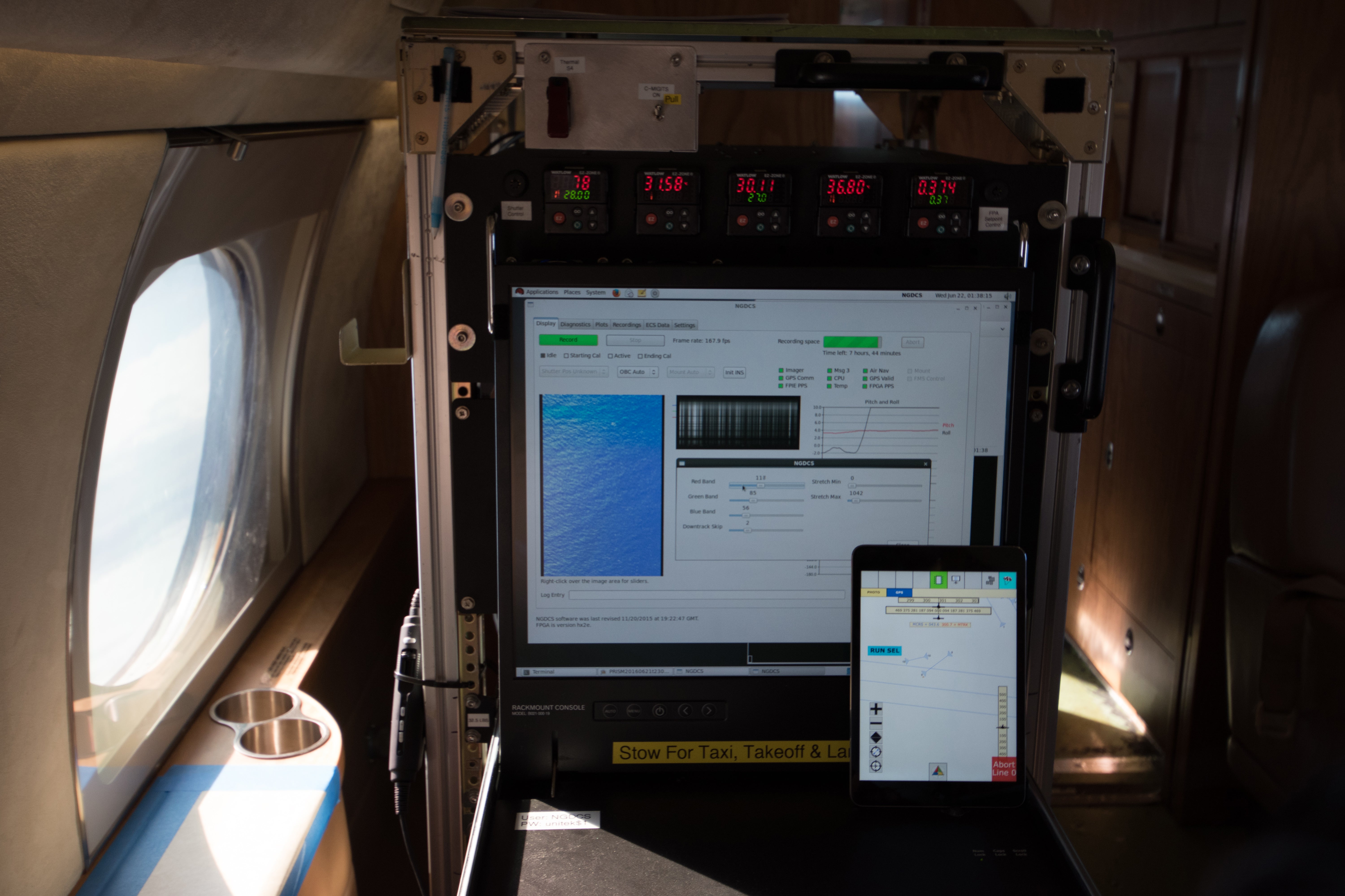
- A view of the PRISM control panel and data during flight
PRISM Data Access:
PRISM flights and Quicklooks for the various CORAL field campaigns can be found at: https://prism.jpl.nasa.gov/quicklooks.html
2016 flights include data from the Operational Readiness Test and the Great Barrier Reef campaign
2017 flights include data from the Main Hawaiian Islands, Guam, and the Mariana Islands